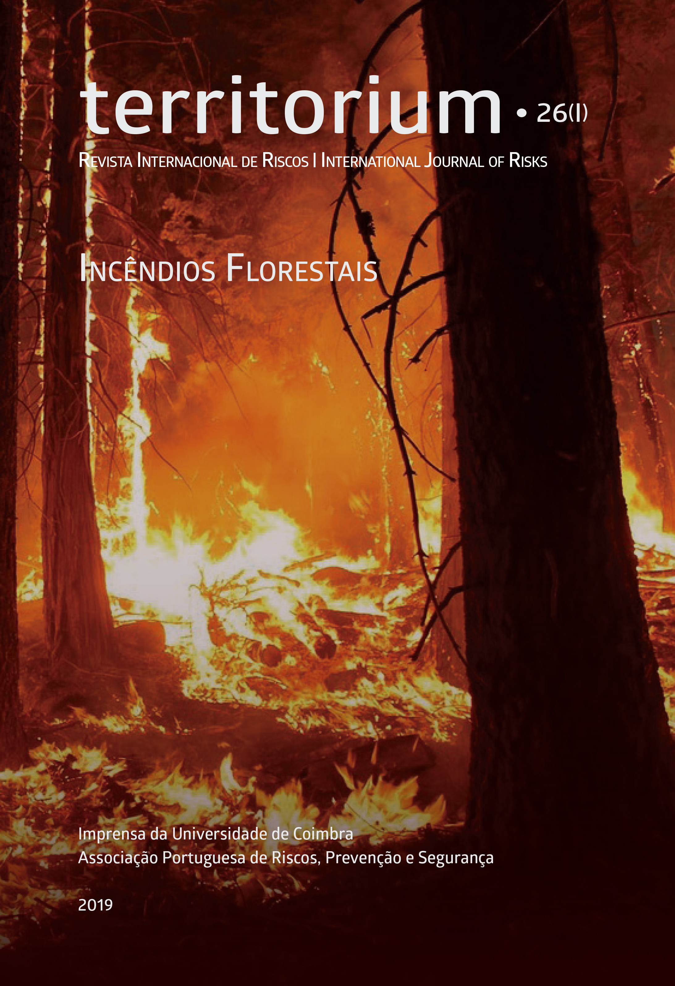
High resolution fire hazard index based on satellite images
DOI:
https://doi.org/10.14195/1647-7723_26-1_3Keywords:
Satellite, hazard, fire, optical imageryAbstract
In December 2015, after 3 year of activity, the FP7 project PREFER (Space-based Information Support for Prevention and REcovery of Forest Fires Emergency in the MediteRranean Area) came to an end. The project was designed to respond to the need to improve the use of satellite images in applications related to the emergency services, in particular, to forest fires. The project aimed at developing, validating and demonstrating information products based on optical and SAR (Synthetic Aperture Radar) imagery for supporting the prevention of forest fires and the recovery/damage assessment of burnt area. The present paper presents an improved version of one of the products developed under the PREFER project, which is the Daily Fire Hazard Index (DFHI).
Downloads
References
Allen, R. G., Pereira, L. S., Raes, D. and Smith, M. (1998). Crop evapotranspiration: guidelines for computing crop requirements. Irrigation and Drainage paper, N. 56, FAO, Rome.
Anderson, H. E. (1982). Aids to determining fuel models for estimating fire behavior. U.S. Department of Agriculture, Forest Service, Intermountain Forest and Range Experiment Station. 22.
Burgan, R. E., Hartford, R. A. (1993). Monitoring Vegetation Greenness with Satellite data, General Technical Rep. INT-297, USDA Forest Service.
Burgan, R. E., Klaver, R.W., Klaver, J. M. (1998). Fuel models and fire potential from satellite and surface observations. Int. J. Wildland Fire, 8 (3), 159-170.
Drouet, J. C., and Sol, B. (1993). Mise au point d’un indice numerique de risque meteorologique d’incendies de forêts, Forêt Mediterranéenne 14(2), 155-162.
Heidorn, K. C. (1998). Canadian Fire Weather Index, PhD work.
Huete, A., Didan, K., Miura, T., Rodriguez, E.P., Gao, X. and Ferreira, L.G. (2002). Overview of the radiometric and biophysical performance of the MODIS Vegetation Indices. Remote Sens. Environ. 2002, 83, 195–213.
Gobron, N., Pinty, B., Verstraete, M. M., and Widlowski, J. L. (2000). Advanced vegetation indices optimized for up-coming sensors: Design, performance, and applications. IEEE Transactions on Geoscience and Remote Sensing, 38, 2489–2505.
INMG- INSTITUTO NACIONAL DE METEOROLOGIA E GEOFÍSICA (1988). Nota explicativa sobre o Indice de Risco Meteorologico de Incendios Rurais, Divisão de Meteorologia Agrìcola, Instituto Nacional de Meteorologia e Geofísica.
ICONA (1993). Manual de operaciones contra incendios forestales. Madrid, 5.1/65.
Laneve, G. and Cadau, E. (2007). Quality assessment of the fire hazard forecast based on a fire potential index for Mediterranean area by using a MSG/SEVIRI based fire detection system, Proceedings of IEEE IGARSS 2007, 2447–2450. DOI: http://doi. org/10.1109/IGARSS.2007.4423337
Laneve G., Jahjah M., Ferrucci F., Hirn B., Battazza F., Fusilli L., de Bonis R. SIGRI Project (2014). Products Validation Results, IEEE J. of Selected Topics in Applied Earth Observations and Remote Sensing. Vol. 7, 3, 895-905.
Laneve, G., Bernini, G., Fusilli, L., Marzialetti, P. and Hirn, B. (2016a). Satellite-based products for supporting forest fires prevention and recovery in Europe, IEEE 16th International Conference on Environment and Electrical Engineering (EEEIC), 1-6. DOI: http://doi. org/10.1109/EEEIC.2016.7555460
Laneve, G., Fusilli, L., and Bernini, G. (2016b). Achievements of the PREFER project in the prevention phase of the forest fire management, Proc. IGARSS 2016, 10 - 15 July 2016, Beijing, 5765-5768. DOI: http://doi. org/10.1109/IGARSS.2016.7730506
López, A., San-Miguel-Ayanz, J., Burgan, R. E. (2002). Integration of satellite sensor data, fuel type maps and meteorological observations for evaluation of forest fire risk at the pan-European scale. Int. J. Remote Sensing, 23 (13), 2713-2719.
Nelson, R. M. (2000). Prediction of diurnal change in 10-hour fuel moisture content, Canadian Journal of Forest Research 30, 1071-1087.
Rothermel, R. D. C., Wilson, R. A., Morris, G.A., Sackett, S. S. (1986). Modeling moisture content of fine dead wildland fuels: input to BEHAVE fire prediction system, USDA Forest Service, Research Paper INT-359, Intermountain Research Station, Odgen, Utah.
San-Miguel-Ayanz, J., Barbosa, P. M., Schmunk, G., Libertà, G. (2003). The European Forest Fire Information System (EFFIS). In Proceedings of the Joint Workshop of Earsel SIG and GOFC/GOLD: Innovative Concepts and Methods in Fire Danger Estimation, Belgium, June.
Ventura, F., Marletto, V., Zinoni, F. (2001). Un metodo per il calcolo dell’indice meteorologico del rischio di incendio forestale, Sherwood, Foreste e alberi oggi, 7(6), 13-16.
Downloads
Published
Issue
Section
License
Authors retain copyright and grant the journal right of first publication with the work simultaneously licensed under a Creative Commons Attribution License that allows sharing the work with recognition of authorship and initial publication in Antropologia Portuguesa journal.


